Why storage is the norm on the Levels
The Levels and Moors are low, flat ground of clay and peat, drained by the Parrett, Tone, Brue and Axe and a network of rhynes. The water table sits close to the surface for much of the year and large areas flood in wet winters. Percolation tests there rarely pass, and a soakaway in that ground would sit full of water.
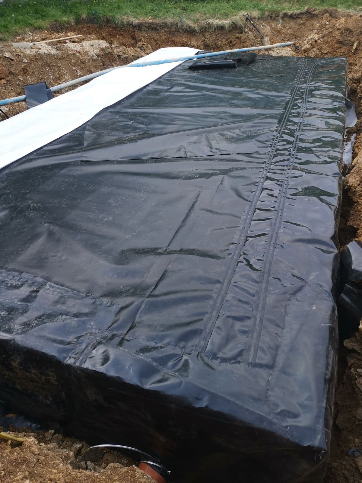
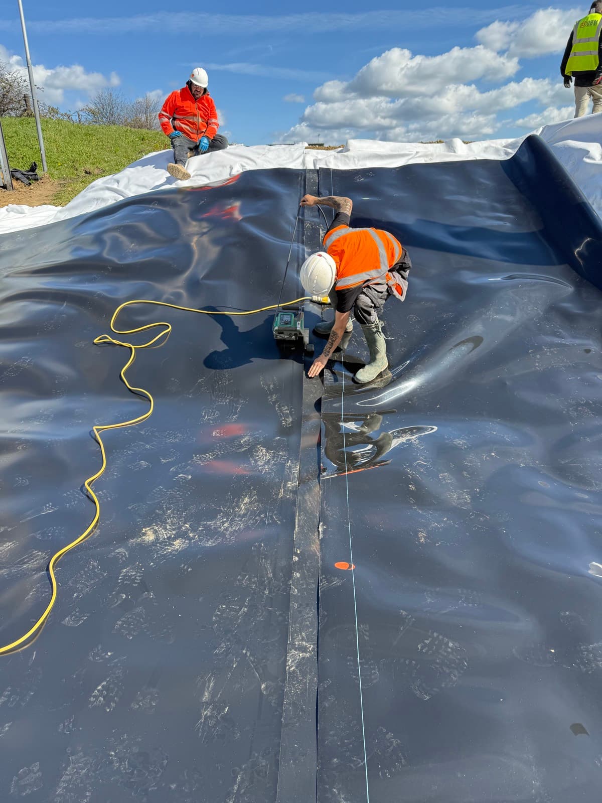
Runoff is instead discharged to a watercourse or sewer at a controlled rate, set through the planning conditions and agreed with the Lead Local Flood Authority. The attenuation tank holds the storm while the flow control lets it out at that rate. Under the 2025 national SuDS standards that discharge is pushed towards greenfield rates, with allowances for climate change, so storage volumes on Levels sites are rarely getting smaller.